Grantown to Dava 8.5 Miles
STAGE 1
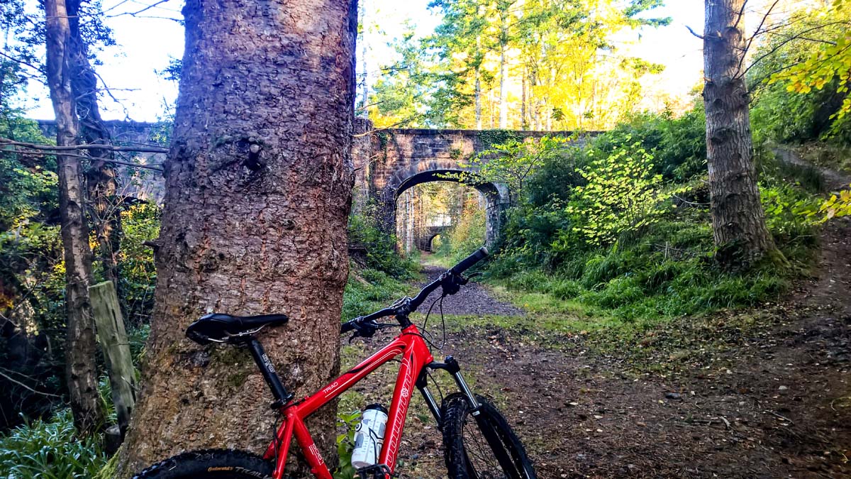
Starting from the wide main street in Grantown-on-Spey, head up Seafield Avenue next to the Co-op – it is signed for the caravan site. Follow this out of the town and past the caravan site and under the old railway. Immediately after this turn right onto a signed path. Once over the wooden bridge it is possible to detour to the left to view the waterfall, otherwise continue on the Dava Way by going up onto the old railway line. Here turn left and follow the line, ignoring any paths off to the side, and soon reaching a cutting.
STAGE 2
There is a slight break in the old railway line as it crosses the road leading to Wester Dreggie just follow the signs to continue in the same direction. The route now passes through farmland, crossing another track, and passing close to a house before going over the A939 next to Castle Grant East Lodge. The Lodge also functioned as the station for Lady Catherine’s Halt, built for nearby Castle Grant. The follows a raised embankment and soon leaves the railway and heads down to the left and then skirts the wooded edge of a field before reaching a track. Turn left here and just before the main road turn right onto a signed path.
STAGE 3
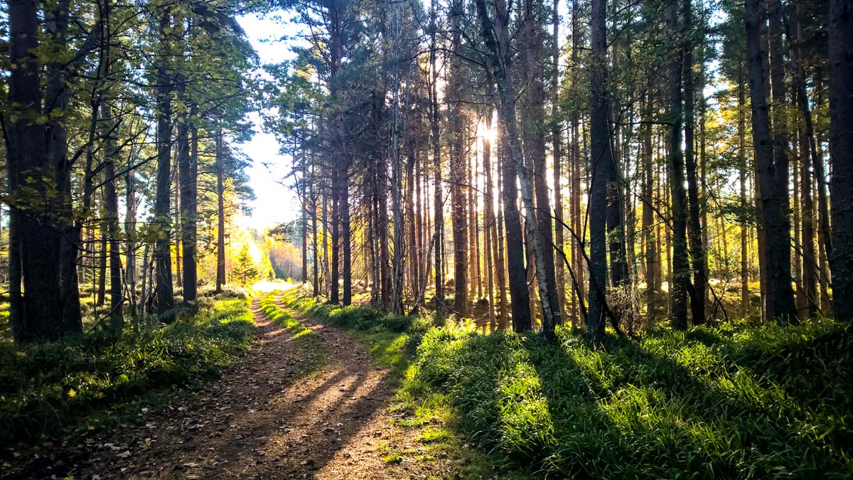
The path meanders through the trees and then through two gates to cross a track before continuing in the woods. Turn right at the next track and soon take the signed left and follow the surfaced path through pine trees, look out for pine martens who have been spotted in this area. Soon it descends to return to the line of the old railway, turn left along it here.
STAGE 4
This bit can sometimes be wet underfoot but soon the trees are left behind. Ignore a track to the left and go straight ahead through a farm gate. Soon the route heads into a section of forestry plantation. After a short while a path on the right leads to an optional short detour down to Huntly’s Cave crag, a popular climbing spot and a good place for a stop. Otherwise, pass through a tree-lined cutting before a gate leads to a more open section with sparse pine trees.
STAGE 5
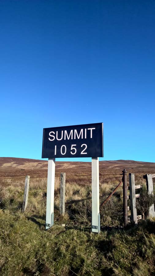
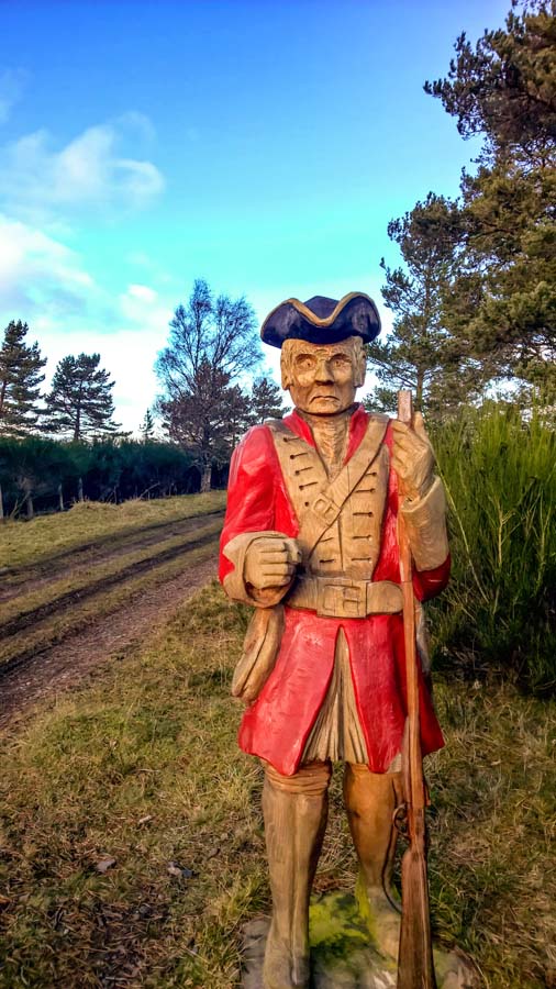
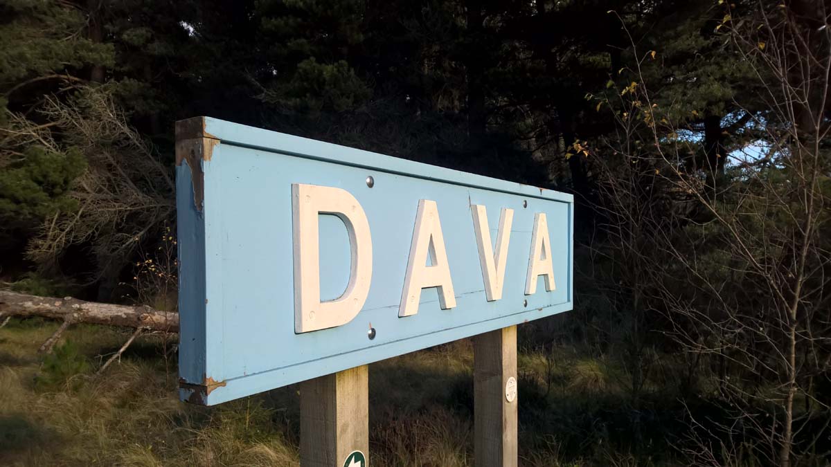
The narrow path joins a track, still following the old railway line straight ahead as it starts the crossing of Dava Moor. Desolate and bleak in bad weather, the wide open space and remote feel, despite the closeness of the main road, make this a memorable part of the walk. Pass the wooden Red Coat who is heading to fight the Jacobites at the battle of Cromdale in 1690. Although the climb is very gentle, the summit (1052 feet/320 metres) is reached soon and marked by a sign facing in the other direction. Continue along the path, passing butts for grouse shooting on the right. To the left Loch Mhic Leoid can be seen, with a few lonely houses dotted about on the moor beyond.
STAGE 6
A couple of areas of pine trees provide shelter and break up the monotony of this section. On the left evidence of past peat cutting for fuel can be seen. The surface of the track improves as the forest at Dava comes into view. Here the Dava Way deviates from the old railway line to avoid private houses – turn left through a gate to reach a track and turning area. Keep left here to follow a gravel surfaced track down to the main road. (Dava’s B&B is around 650m to the left from here). If continuing on the Dava Way look out for the signed turning to the right through the trees. If parking or being picked up at the end of this section there is limited space on the grass verge opposite where the track meets the main road, just south of a big shed on the east side of the A939. There is no parking or turning allowed up the track.
Dava to Dunphail 6.5 Miles
STAGE 7
There is space to park on the grassy verge of the A940 just south of the county boundary sign for Moray and opposite a track. To join the Dava Way, take this track heading east. After 50 metres a signpost indicates the place to turn left onto a path into the woods. This winds through the trees and then briefly follows a fenceline to leave the trees between two large wooden posts. Continue across the pasture (waymarkers) to gain the line of the old railway. Here turn left; when the route meets a track pass to the left side of the little cottage; there are sometimes livestock here so keep any dogs under close control. As the track goes off to the left keep straight on, following the old railway line. The trees are soon left behind as the route runs across the open moor.
STAGE 8
The line curves round to the right to pass below the eastern slopes of the Knock of Braemory, a rounded, heathery hill. Further on the route passes through a gate and reaches a softer, more wooded landscape to the east of the abandoned farmhouse of Bogeny, seen over to the left after around 5km from Dava.
STAGE 9
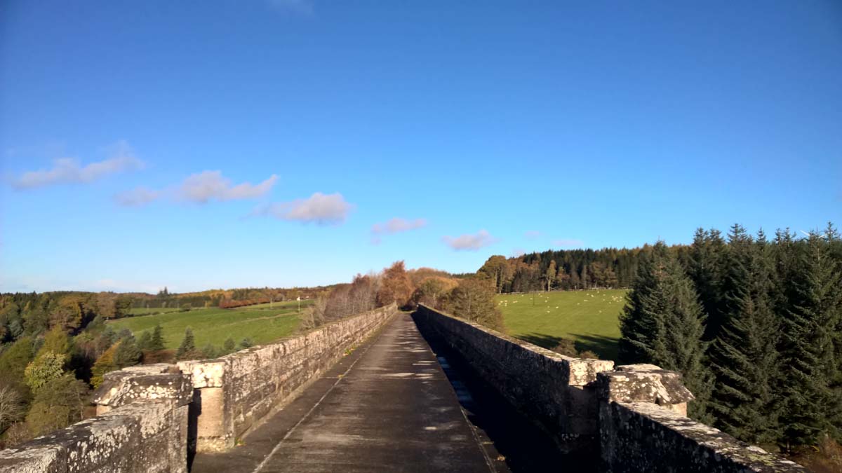
Further on the line is breifly lined by old Scots pines before another moorland stretch leads to a cutting through Bantrach wood. Continue straight ahead across a track and very soon the Divie Viaduct is reached. The symbol of the Dava Way, the viaduct is an impressive structure, with seven arches and 145 metres and 52 metres high. Built in the 1860s it cost over £10,000 and still today gives great views down to the River Divie far below.
STAGE 10
Just beyond the viaduct a bench gives an opportunity for a break. The Way passes to the right of some buildings and then continues for a further kilometre, where a marker post in a birchwood indicates a turn off the old railway to the right; this avoids passing through the old Dunphail station which is now a private house. Keep left in the woods at the next marker to return to the line on the far side. Go left again at the Dava Way information board to reach the picnic area and new car park at Dunphail. The road is on the far side of the wooden hall.
Dunphail to Forres 9 Miles
STAGE 11
There is a car park and picnic area at Dunphail, reached off the A940 beside Edinkillie Community Hall. The Dava Way is joined from the back of the picnic area by the information board. Turn left along the route of the old railway to begin the walk along this stage to Forres. The route soon passes under a bridge carrying the Half Divoch moor road.
STAGE 12
There are many gates on this section as the Way passes through grazing land; there are also few waymarkers but the route always keeps straight ahead along the line of the old railway, ignoring tracks off on both sides. Some sections of the Way along here can be muddy underfoot. Pass under Peathillock Bridge, where the Way could be left for a detour to the cafe at Logie Steading and the walk to Randolph’s Leap; continue along the line for Forres, along a low embankment.
STAGE 13
After four and a half kilometres the route passes into Cowgreens Wood. Follow the markers which lead slightly to the right of the line in the wood to cross a minor road. Beyond, the line leads on through a cutting and then an iron bridge over the Altyre Burn. The original bridge here was removed when the railway was closed and providing a new crossing became the chief barrier to the volunteer group who worked to reopen the line as the Dava Way; the new bridge was eventually built and installed by AJ Engineering of Forres in 2004.
STAGE 14
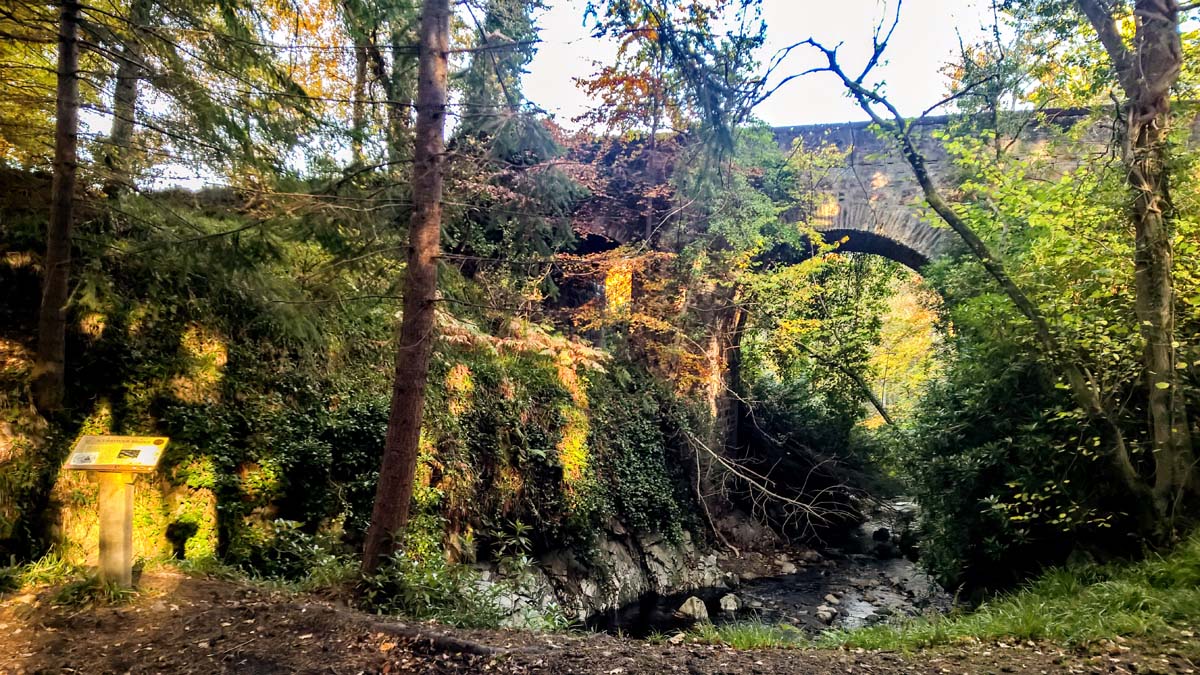
Further on, pass under an arch of the graceful Scurrypool bridge, and then leave the old line just beyond at Squirrel Neuk bridge, using the steps on the left. Cross over the bridge and then follow the track to the left on the far side. This detour away from the old railway avoids a cutting which is usually waterlogged. Keep left at the track junction in the woods to join a better track. Pass through a gate and then fork left again before the track reaches a house. Eventually another waymarked turn on the left leads back to the railway; this section is well waymarked.
STAGE 15
The Way now runs along a high earth embankment giving good views over the arable countryside. It crosses a bridge over the Rafford road; a signed path on the right a short distance further on gives access to the road if needed. Further on the Burn of Mosset is seen far below before the embankment descends once more to the level of the land around. Continue straight across a farm track.
STAGE 16
On the left side Dallas Dhu distillery can be seen. The distillery closed in 1983 but was taken over by Historic Scotland, who re-opened it in 1988 as a visitor attraction; it is perfectly preserved in working order and makes a fine memorial to traditional distilling. Continue along the line, passing under a bridge before following a ramp up onto Mannachie Avenue in the outskirts of Forres. To reach the town centre turn right along the Avenue, turning right into Mannachie Rise as it bends to the left. Follow the path from the end of the cul-de-sac to emerge on Loch View, then taking the second left onto Sanquahar Road. After passing first the Academy and then the school, this joins Tolbooth Street; the main street is a short distance away to the left.